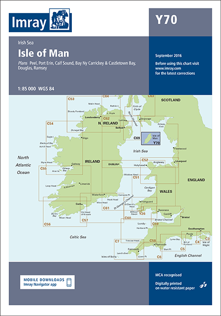
Imray Chart Y70, Isle of Man Edition corrected to 2016 features detailed cartography based on the latest official surveys to WGS 84 datum. The chart is digitally printed on water resistant paper and is presented in a clear plastic wallet with supporting information.
Y Charts are smaller sized sheets which provide large-scale coverage of rivers and estuaries which cannot be shown in detail on C charts.
Version control: can be updated as appropriate with the relevant Correction Notice which is downloadable from Imray website using QR code on the rear of the chart folder or website link.