1
/
of
2
Imray
Imray Chart C62 Irish Sea
Imray Chart C62 Irish Sea
Regular price
£25.95
Sale price
£25.95
Regular price
Unit price
/
per
Next Day Delivery Order in the next
0h
0m
0s
Delivery Next day delivery available
Same Day Dispatch Order before 11am
Free Collection from our boat yard. Usually available within 24 hours
About
Features Overview
Chart/Insets included
Features Overview
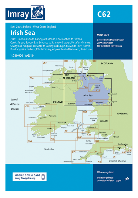
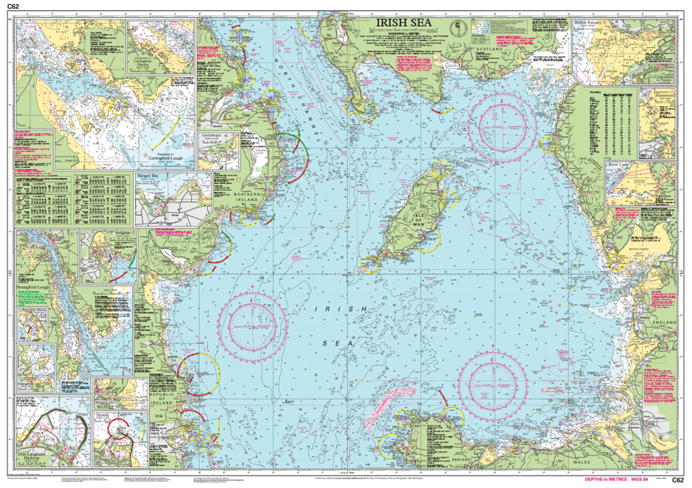
Imray Chart C62 Irish Sea, corrected to February 2024, features detailed cartography digitally printed on water resistant paper and is presented in a clear plastic wallet.
Version control: can be updated as appropriate with the relevant Correction Notice which is downloadable from Imray website using QR code on the rear of the chart folder or website link.
Chart/Insets included
- Sheet size 787 x 1118mm
- Chart specification has been improved to show coloured light flashes
- Updated bathymetric data has been included where available
- The firing practice areas have been updated
- There has been general updating throughout
- Carrickfergus (1:15 000)
- Bangor Bay (1:17 500)
- Entrance to Strangford Lough (1:37 500)
- Portaferry Marina (1:7500)
- Strangford (1:5000)
- Ardglass (1:15 000)
- Entrance to Carlingford Lough (1:26 000)
- Malahide Inlet (1:35 000)
- Howth (1:12 500)
- Dun Laoghaire Harbour (1:15 000)
- Ribble Estuary (1:125 000)
- Approaches to Fleetwood (1:50 000)
- River Lune (1:100 000)
- Continuation to Carlingford Marina (1:40 000)
- Continuation to Preston (1:125 000)

